Live Earthquake Map – Real-Time Global Seismic Activity
Track live earthquakes worldwide with recent quake updates, global seismic activity maps, and regional trends.
Quick Stats
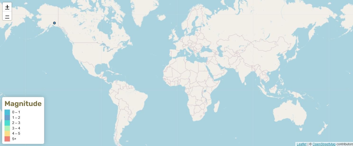
Live Global Earthquake Map (Past 24 Hours)
Click any marker to view details about magnitude, depth, and regional impact. Use filters below to view tectonic plates and earthquakes by time range, magnitude, or region.
Earthquakes of Magnitude 4.5 and Above
Recent Significant Events
Updated: 2026-08-02 15:24:58 UTC
Seismic Activity Trends — 7 Day and 12 Month Comparisons
Compare short-term and long-term earthquake activity across the world. The 7-day list uses M1.5+ earthquakes to show current overall activity, while the 12-month list uses M4.5+ earthquakes to show longer-term patterns in stronger global events. These lists should be read separately, because different magnitude thresholds are used.
Most Active Global Regions – Last 7 Days (M1.5+)
- Alaska: 348 quakes
- California: 136 quakes
- Hawaii: 90 quakes
- Texas: 76 quakes
- Puerto Rico: 60 quakes
Updated: Sun, 02 Aug 2026 15:27:37 UTC
Most Active Global Regions – Last 12 Months (M4.5+)
- Russia: 1,285 quakes
- Indonesia: 806 quakes
- Philippines: 728 quakes
- Japan: 528 quakes
- Papua New Guinea: 297 quakes
Updated: Sun, 02 Aug 2026 15:29:10 UTC
What is Global Seismic Activity?
Earthquakes happen continuously around the world and the planet experiences thousands every day, most too small to feel. The majority occur along tectonic plate boundaries, where sections of Earth’s crust are constantly moving, colliding, or sliding past one another. The Pacific Ring of Fire is a horseshoe-shaped zone encircling the Pacific Ocean, and accounts for roughly 80–90% of the world’s largest earthquakes and includes regions like Japan, Alaska, Chile, and Indonesia.
New to earthquakes? Visit our Learn About Earthquakes hub to understand magnitude, faults, seismic waves, earthquake safety and other essential earthquake concepts.
Not familiar with earthquake terminology? Our Earthquake Glossary explains common seismic terms in plain English.
Explore Regional Earthquake Activity
Explore earthquake activity across North America, including detailed regional pages for the United States and Canada. Click below to view recent seismic activity and tectonic information for selected areas.
California, USA
Located along the San Andreas Fault, California experiences frequent shallow earthquakes and remains one of the world’s most monitored seismic zones.
Alaska, USA
Alaska is the most seismically active state in the United States, recording more large earthquakes than anywhere else in the country. It sits along the Alaska-Aleutian subduction zone, where the Pacific Plate dives beneath the North American Plate — one of the most tectonically active boundaries on Earth.
Hawaii
Hawaii’s volcanic origin and active hotspot activity make it one of the most seismically active states in the United States, with frequent small earthquakes linked to magma movement and volcanic processes.
Canada
Earthquake activity is highest in western Canada, but earthquakes also occur in eastern Canada, the Arctic, and offshore Atlantic Canada.
About Our Earthquake Data
Where Our Earthquake Data Comes From
All earthquake data currently displayed on this website comes from the United States Geological Survey (USGS), the authoritative source for seismic activity worldwide.
Real-Time Updates
Our system automatically fetches the latest earthquake data every few minutes, ensuring you have the most current information available. Refresh the page to see the latest data
Comprehensive Coverage
Track earthquakes globally with detailed information about location, depth, and regional impact. To learn more about the website and how it presents earthquake information, visit our About Earthquakes Worldwide page.